Current Projects
|
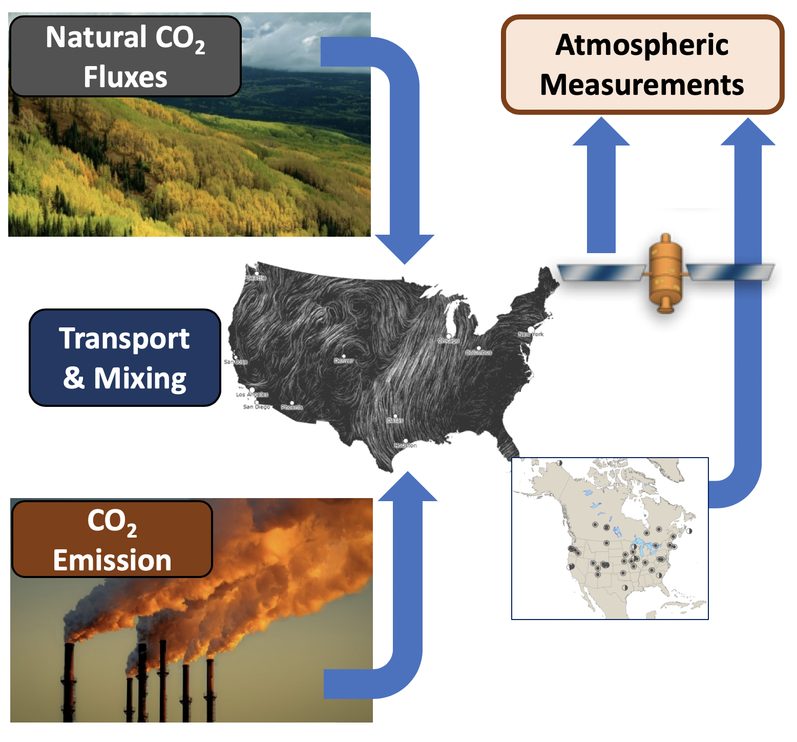
Flux InversionInformation on atmospheric gas (CO2, methane) concentrations is used with transport models to estimate the surface fluxes that are consistent with those concentrations, at a regional or global scale. At many current observation densities, this is an ill-posed problem that relies heavily on prior estimates of fluxes. More. |
|
AIRS Fusion ProductsWe develop methods for statistically combining multiple data products while retaining the strengths of both. The methods apply to both spatial and spatio-temporal interpolation settings, work for very large data sets, and produce error estimates for the outputs. More. |
|
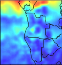
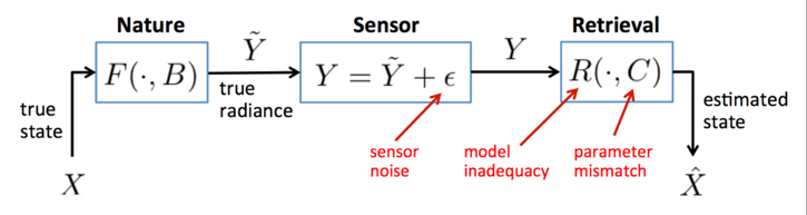
Simulation-Based UQ for OCO-2We have developed and demonstrated a UQ approach that uses forward simulations of the observing process to capture the relationship of true atmospheric states to retrieved states. We've applied the approach to data from NASA's Orbiting Carbon Observatory-2 mission and compare to validation measurements from the Total Column Carbon Observing Network. More. |
|
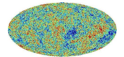
Power Spectrum Estimation of the Cosmic Microwave BackgroundEstimation of the spatial power spectrum, and its associated error bars, is the key to extraction of cosmological information from the cosmic microwave background. More |
Past Projects
|
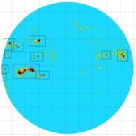
Solar Active Region Identification and TrackingWe have developed original methods for identifying active regions and other features in solar imagery. The resulting active regions are tracked through multiple images over their lifetime. This system has been successfully used for SOHO/MDI and SDO/HMI. More. |
|
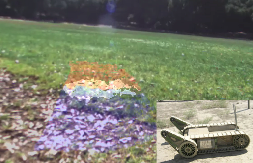
Learning for Robotic NavigationWe have developed and tested several related systems that use machine learning techniques to predict terrain traversability. The systems are based on a near-to-far approach in which information gathered about nearby objects serves as a training signal to select a classifier for farther-away terrain. For example, terrain roughness signals can be used to train a visual classifier that certain terrain types are easier to drive on than others. More |
|
Mining Massive Earth Science Data Sets for Forecast ModelsWe use adaptations of data compression methods to reduce the size and complexity of massive Earth Science data sets. Data for the time period to be studied are subdivided according to spatial location into latitude-longitude grid cells. Each grid cell's data is then compressed by assigning each original data point to one of a number of representative data points for the cell. The representatives are updated to be the means of the original observations they represent, and the proportion of original data points belonging to each is noted. These values define a discrete probability distribution which can be compared to those of other grid cells, time periods or data sources. We are developing automated, analytical methods for characterizing the spatial and temporal evolution of these distributions, and for comparing those produced from remote sensing observations to those produced from Earth system model output. Our aim is to better understand why Earth system models and observations differ, and to determine how model performance can be improved. |